EL PASO, Texas — The showers and thunderstorms that rolled across El Paso on Sunday have moved on, leaving a breezy, cooler Monday and the start of a long dry spell, according to the National Weather Service office in Santa Teresa.
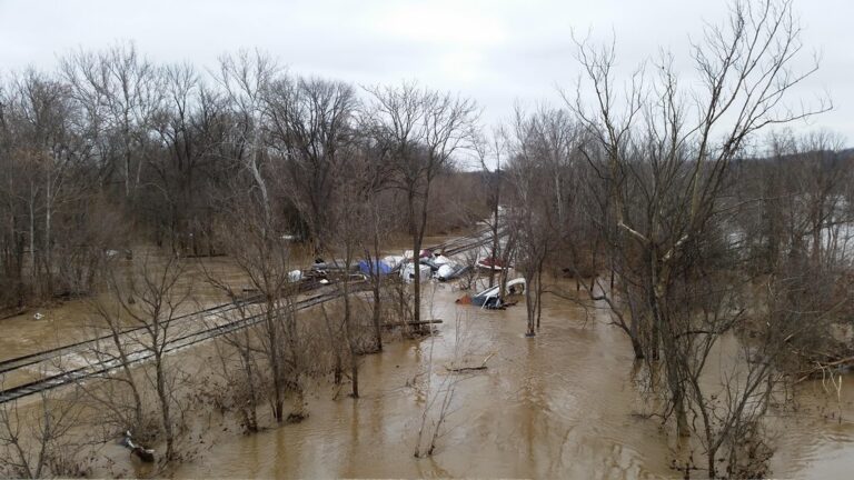
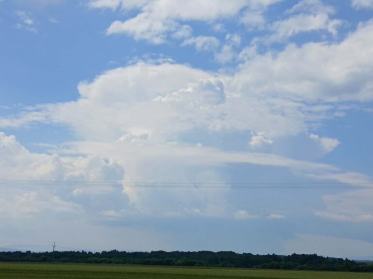
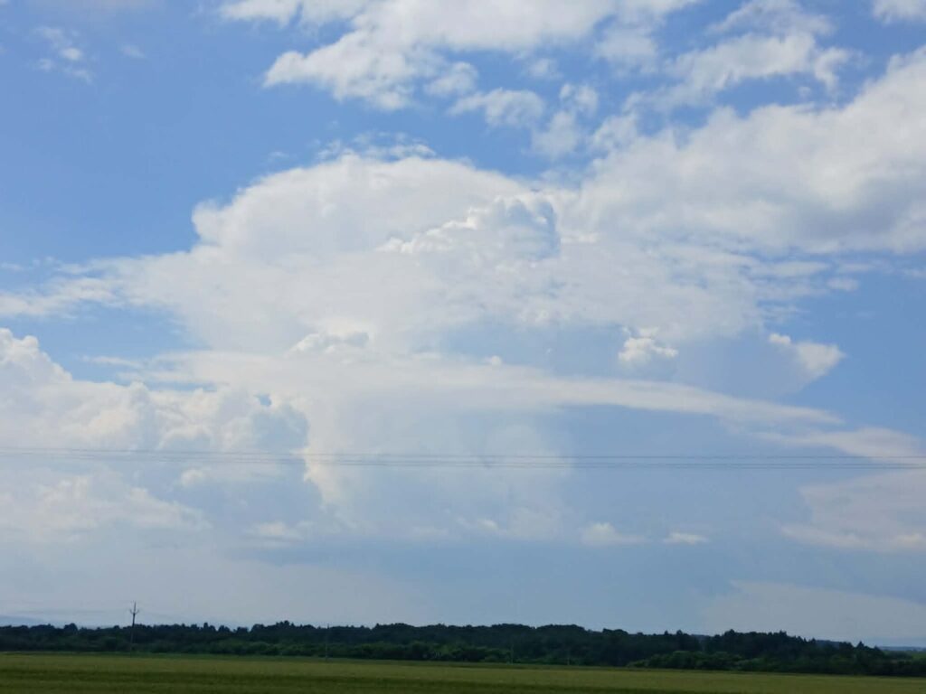
Sunday’s rain came with a strong Pacific front sweeping west to east across far west Texas and southern New Mexico. Ahead of it, the city was warm, with highs in the lower 80s, and forecasters had warned that storms could bring sudden gusts and flooding at low-water crossings and poorly drained streets.
Behind the front, Monday turns sunny but windy. The weather service expects winds out of the west at 16 to 22 mph in El Paso, gusting to around 36 mph, and a high near 70. Winds are expected to ease after midnight, with a low around 50 tonight.
The strongest winds are well north of the city. A high wind warning covers the east slopes of the Sacramento Mountains, where gusts up to 70 mph are possible through midday, and gusty winds are also expected along the east side of the Organ and Franklin Mountains this afternoon.
After that, the pattern goes quiet. Election Day on Tuesday looks sunny with a high near 70 and a light breeze, and Wednesday warms to near 75. The rest of the week stays mostly sunny with highs in the low to mid 70s, and forecasters say the dry weather should last into next weekend.
Forecasters see no fire weather concerns this week, since humidity stays higher than usual for early November even as the air dries out. The only other breezy stretch could come Wednesday afternoon, when a weak Pacific cold front passes through.
Filed under: El Paso TX Weather News